Nystrom World
Overview
- Overview
-
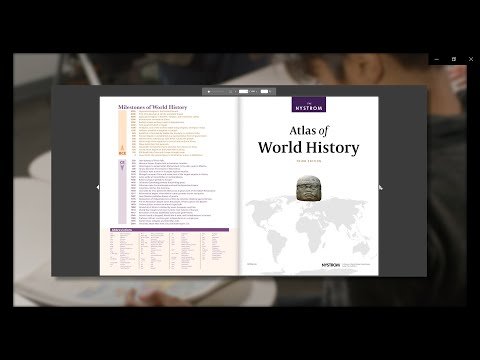
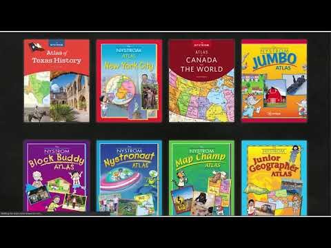
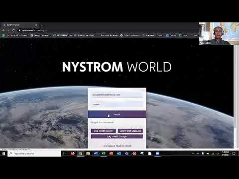
Nystrom World is Social Studies School Service’s digital platform for Nystrom geography and social-studies resources. Students use interactive maps, atlases, lessons, primary sources, activities, and assessment connected to licensed programs.
The licensed geography program gives maps and activities their instructional context. Teachers connect student responses with inquiry and local assessment, while school access determines available collections. Roster and license administration determine access, while the adopted program gives activity its instructional meaning. Teachers and technical staff coordinate changes across courses and school years.
Features
- Features
-
Audience and instructional role
Grades / learners:
K–12 social-studies learners using Nystrom maps, atlases, lessons, or digital resources
Primary users:
students, social-studies teachers, curriculum leaders, and multilingual-learner staff
Learning focus:
geography, history, civics, map literacy, spatial reasoning, and inquiry — Social Studies School Service’s digital platform for Nystrom geography and social-studies resources
How it supports learning
- Students use interactive maps, atlases, lessons, primary sources, activities, and assessment connected to licensed programs.
- Teachers should connect use to explicit learning goals and inspect student work rather than rely on completion, time-on-task, or engagement alone.
Implementation and instructional decisions
- Identify exact Nystrom program, grade, and print/manipulative components; review geographic perspectives, source quality, accessibility, and curricular role.
- Districts should confirm accessibility, language support, student-data practices, assignment workflow, reporting, and the continuing role of teacher judgment.
Student Data Privacy
- Student Data Privacy
-
Review the Common Sense Privacy Rating:
N/A
Nystrom World Privacy Policy:
https://www.socialstudies.com/privacy-policy/
Signed California Student Data Privacy Agreement?
Yes
Company News
- Company News
Interoperability
Sign-on, rostering, and file exchange methods
Select a connector to see every product that supports it.
Note: SDLA does not endorse or resell any products listed on the site. They are listed simply to aid in the development of integration resources for school district ed-data leaders.
Media
Videos